I-95 Southern Maine
Kittery to
Fairfield/Waterville
Central to Northern Maine Fairfield/Waterville to
Houlton
Portland Falmouth Freeport Gardiner
Bangor
National Parks
Prospect West Bath
Brewer
Houlton
Monson
Clifton
Dickey Bridge Allagash
I-295
Portland South Portland
Moosehad
Lake
Sugarloaf
I-95
I-395
Bar Harbor
<
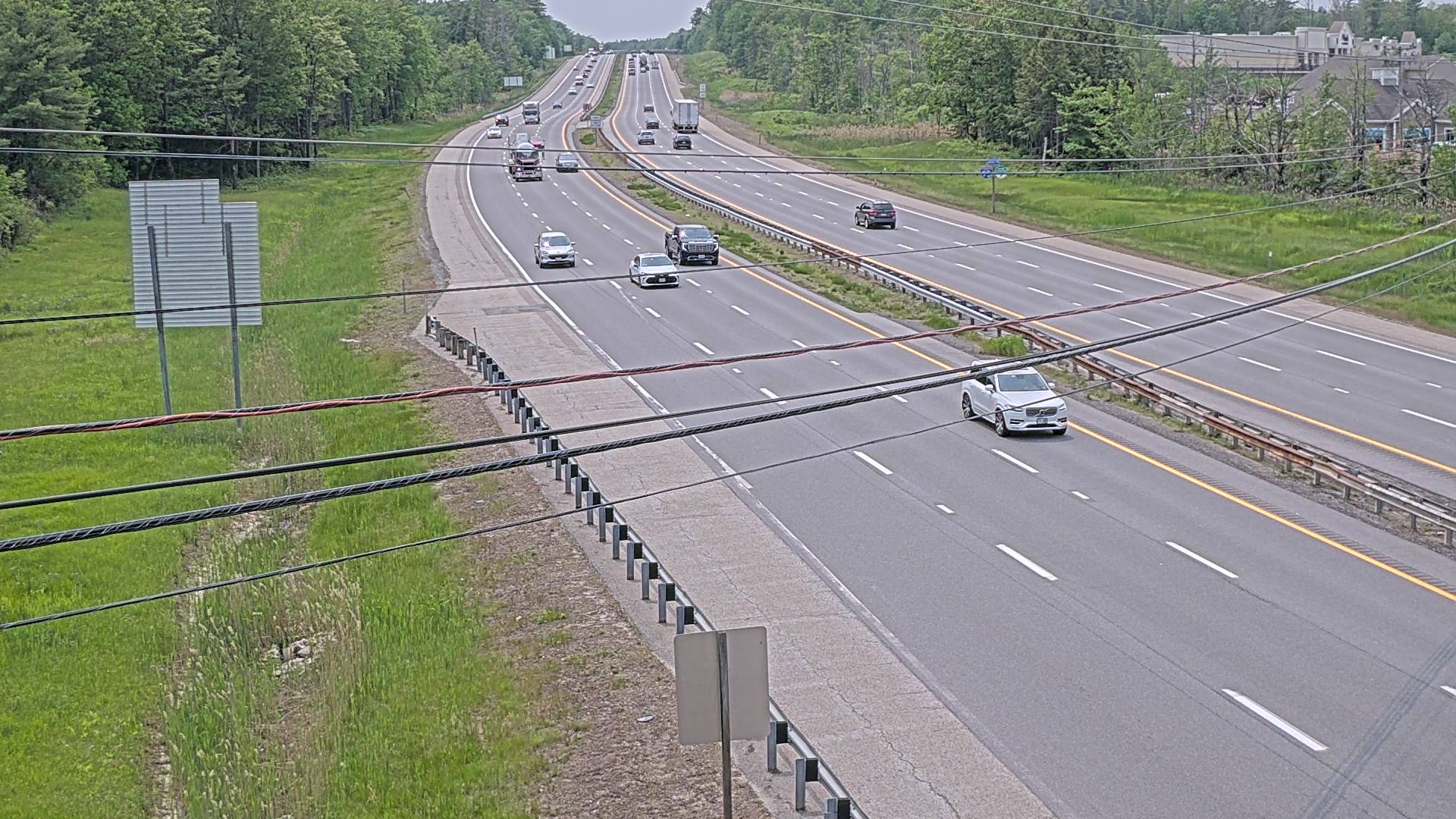
Maine Turnpike & I-95 Cameras
Maine Turnpike (I-95 Cameras)
I-95, Mile 0.6
Looking North
I-95, Mile 0.6
Looking South
I-95, Mile 1.3 HLB
Looking South
I-95, Mile 2.4
Looking South
I-95, Mile 3.1
Looking South
Maine Turnpike, Mile 3 - Kittery
Looking South
Maine Turnpike, Mile 5 - York River
Looking North
Maine Turnpike, Mile 8.8 - York Toll
Looking North
Maine Turnpike, Mile 8.8 - York Toll
Looking South
I-95, Mile 13.4
Looking North
I-95, Mile 13.4
Looking South
I-95, Mile 14.6
Looking North
I-95, Mile 14.6
Looking South
Maine Turnpike, Mile 15 - Wells
Looking North
I-95, Mile 15.2
Looking North
I-95, Mile 15.4
Looking North
I-95, Mile 15.4
Looking South
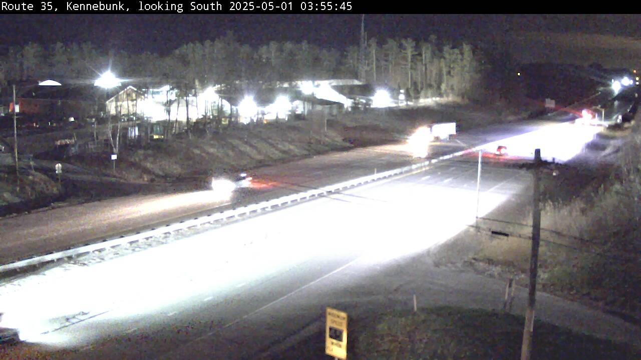
Maine Turnpike, Mile 25.3 - Kennebunk
Looking North
Maine Turnpike, Mile 25.3 - Kennebunk
Looking South
Maine Turnpike, Mile 31.3 - Biddeford
Looking North
Maine Turnpike, Mile 31.3 - Biddeford
Looking South
Maine Turnpike, Mile 31.3 - Biddeford Toll
Looking East
Maine Turnpike, Mile 33.4 - Saco
Looking North
Maine Turnpike, Mile 38.1 - Saco
Looking North
Maine Turnpike, Mile 38.1 - Saco
Looking South
Maine Turnpike, Mile 43 - Scarborough
Looking North
Maine Turnpike, Mile 47 - Portland
Looking South
Maine Turnpike, Mile 49 - Portland
Looking North
Maine Turnpike, Mile 53 - Portland
Looking South
Maine Turnpike, Mile 62.9 - Gray
Looking North
Maine Turnpike, Mile 74 - Auburn
Looking North
Maine Turnpike, Mile 78.8 - Auburn
Looking North
Maine Turnpike, Mile 108.8 - Augusta
Looking South
HTML Full-screen iframe (100% Height and Width)
The Maine Turnpike: A Pioneering Highway in American Infrastructure
Maine Turnpike Road Conditions. The Maine Turnpike is one of the most significant highways in the United States, serving as a vital transportation corridor for residents, businesses, and tourists. As the first superhighway built in the postwar era, it set a precedent for modern toll roads and played a crucial role in shaping Maine’s economy and infrastructure.
Origins and Early Planning
The idea for the Maine Turnpike emerged in the 1930s, when traffic congestion along Route 1—the primary road between Kittery and Portland—became a growing concern. The drive between the two cities could take several hours, especially during peak tourist seasons.
In 1941, the Maine State Legislature passed an act creating the Maine Turnpike Authority, an independent agency tasked with constructing a highway from Kittery to Fort Kent. The project was spearheaded by Representative Joseph T. Sayward of Kennebunk, who recognized the need for a modern highway to improve travel efficiency and safety.
Construction and Funding Innovations
Unlike many infrastructure projects of the time, the Maine Turnpike was funded entirely through revenue bonds, rather than state or federal funds. More than $20 million was raised through bonds sold to private and institutional investors, making it a landmark example of how states could finance major infrastructure projects.
Surveying, designing, and securing finances for the first 45-mile, four-lane divided highway took five years, but construction was completed in less than two years. The highway was officially opened on December 13, 1947, marking a new era in American transportation.
Innovations and Early Success
The Maine Turnpike was the first superhighway in the world to be paved entirely with asphalt, rather than concrete. This decision was met with skepticism from highway engineers, but the durability of asphalt under Maine’s extreme weather conditions proved its effectiveness.
The highway was designed with four wide lanes and a grass median, an innovative safety feature at the time. When it opened, the Portland Press Herald dubbed it the “Mile-A-Minute Highway”, as it allowed drivers to travel at speeds of 60 miles per hour, a rarity in Maine at the time.
Expansion and Integration with Interstate 95
The success of the Maine Turnpike led to its expansion beyond Portland. By 1955, the highway extended to Augusta, covering 113 miles. The remaining 190-mile stretch of Interstate 95, from Augusta to the Canadian border, was later developed as a publicly funded freeway.
In 2004, the highway’s route between Portland and Gardiner was modified to encompass the entire Maine Turnpike, including the former Interstate 495 between Falmouth and Gardiner. This integration streamlined travel and improved connectivity across the state.
Economic and Environmental Impact
The Maine Turnpike has played a crucial role in Maine’s economy, facilitating commerce, tourism, and daily commutes. Today, more than one million vehicles travel the turnpike each week, a dramatic increase from its first year of operation.
The highway is funded entirely by tolls, with two-thirds of toll revenue coming from out-of-state travelers. This funding model has allowed the Maine Turnpike Authority to maintain and improve the highway without relying on taxpayer dollars.
Environmental considerations have also shaped the turnpike’s development. Efforts to reduce road salt usage and implement sustainable infrastructure improvements have helped minimize its ecological footprint.
The Maine Turnpike Today
Today, the Maine Turnpike remains a vital transportation artery, connecting southern Maine to the rest of the state and beyond. Its continued expansion and modernization ensure that it remains a reliable and efficient route for travelers.From its origins as a solution to traffic congestion to its status as a pioneering toll highway, the Maine Turnpike stands as a testament to innovation, resilience, and the enduring importance of infrastructure in shaping communities.
To provide the best experiences, we use technologies like cookies to store and/or access device information. Consenting to these technologies will allow us to process data such as browsing behavior or unique IDs on this site. Not consenting or withdrawing consent, may adversely affect certain features and functions.
Functional
Always active
The technical storage or access is strictly necessary for the legitimate purpose of enabling the use of a specific service explicitly requested by the subscriber or user, or for the sole purpose of carrying out the transmission of a communication over an electronic communications network.
Preferences
The technical storage or access is necessary for the legitimate purpose of storing preferences that are not requested by the subscriber or user.
Statistics
The technical storage or access that is used exclusively for statistical purposes.The technical storage or access that is used exclusively for anonymous statistical purposes. Without a subpoena, voluntary compliance on the part of your Internet Service Provider, or additional records from a third party, information stored or retrieved for this purpose alone cannot usually be used to identify you.
Marketing
The technical storage or access is required to create user profiles to send advertising, or to track the user on a website or across several websites for similar marketing purposes.